
The number of individuals seeking shelter in the Department of Homeless Services (DHS) shelters in the city has significantly increased over the past two years, with a 30 percent rise compared to last year and an 89 percent increase compared to the end of fiscal year 2022. The latest Mayor’s Management Report shows that there were a total of 86,000 individuals in DHS shelters during the fiscal year that ended in June. This surge is largely attributed to the arrival of over 210,000 migrants and asylum seekers in the city in the last two years, with tens of thousands still residing in DHS sites and emergency shelters operated by other city agencies.
Asylum seekers make up 37 percent of the DHS shelter population, primarily families with children, and have been the main driving force behind the 79 percent growth since 2022. With the rapid expansion of the DHS shelter system, there has been a notable increase in the demand for language interpreters. Requests for interpretation services through the city’s Language Line or on-site interpreters have multiplied more than five times in the past five years, surging from 18,660 in 2020 to 107,083 in 2024.
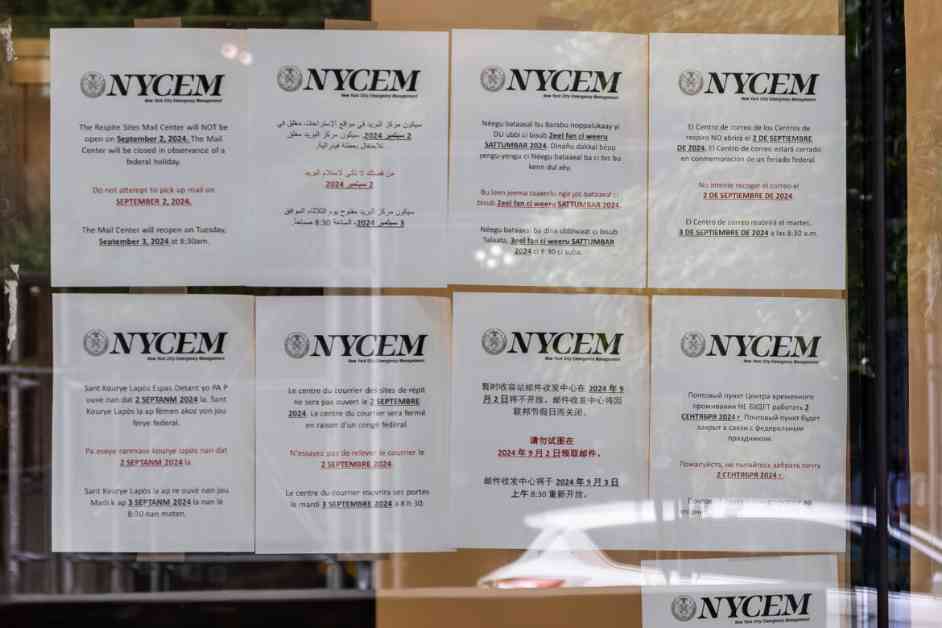
Advocates have pointed out the challenges in accurately capturing the full extent of interpretation services provided due to the involvement of various organizations utilizing DHS resources or offering services independently. While DHS shelters offer on-site interpreters, bilingual staff, and a Language Line for phone interpretation services, there have been complaints from advocates and shelter residents regarding barriers and limited access to interpreters for languages other than English and Spanish.
During a City Council hearing, concerns were raised about the lack of workforce programs and training opportunities for individuals speaking languages such as Arabic, French, Pulaar, and Wolof. Despite options for verbal communication, there is a gap in translating written materials like notices, as the city is only legally obligated to translate information into the 10 most common non-English languages across the five boroughs under Local Law 30.
Kathryn Kliff from the Legal Aid Society’s Homeless Rights Project emphasized the unmet need for additional resources to support clients who speak languages not covered by Local Law 30. She highlighted the importance of addressing language barriers and providing adequate interpreter services to ensure effective communication and access to essential information for individuals in DHS shelters.
Overall, the growing demand for language interpretation services in city homeless shelters underscores the importance of enhancing language access and support for diverse populations seeking shelter and assistance. The city and relevant organizations need to work towards addressing these challenges and ensuring that language barriers do not hinder individuals from accessing vital services and support in times of need.