
The weather in the Miami-Fort Lauderdale area has been quite gloomy lately, with cloudy skies and milder temperatures. It seems like the sun has been hiding behind the clouds for the past 15 days, making October a bit dreary.
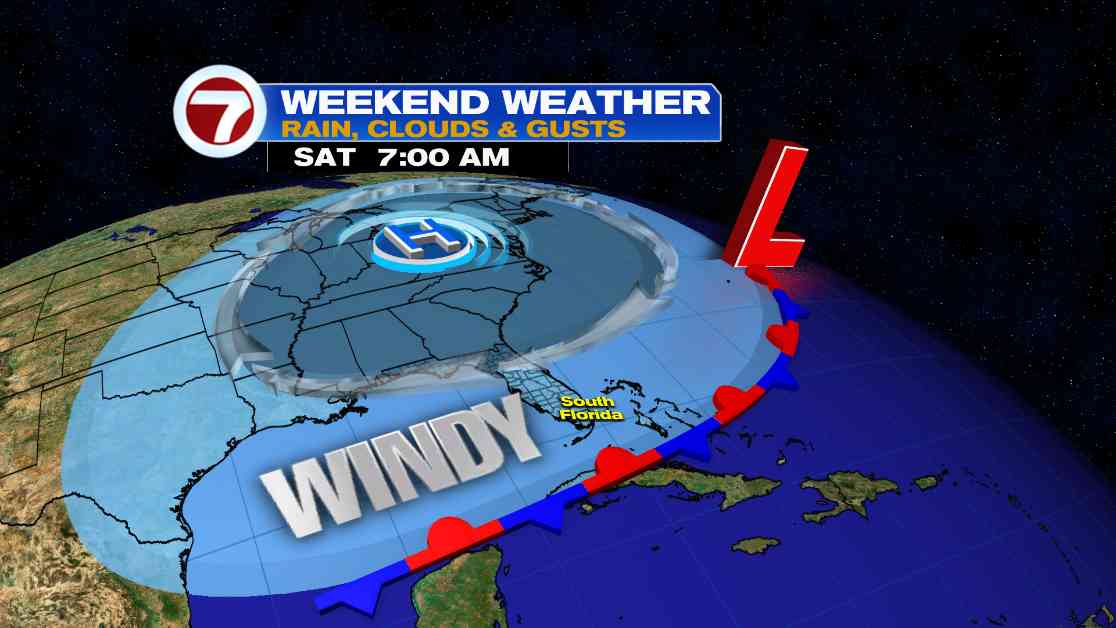
As we head into the weekend, expect more of the same with mostly cloudy skies and windy conditions. However, there is a chance that we might see some breaks of sunshine just before sunset this evening. The wind will still be strong, with gusts reaching up to 30-40 mph and the possibility of spotty showers.
For those planning to hit the waters, be cautious as there is a Small Craft Advisory in effect for all local waters. Broward beaches will also experience high surf with waves up to 7-9 feet, along with a high rip current risk.
With the ongoing King Tides, coastal flooding during high tide cycles will continue to be a concern throughout the weekend and possibly into early next week. Sunday will bring some relief with more sunshine, lighter winds, and the occasional shower rolling in with the northeast breeze.
Looking ahead to the upcoming week, expect typical dry season weather in South Florida with a mix of sun and clouds, isolated showers, and near-normal temperatures. The summer storms will be absent, but highs will still be in the mid 80s and lows in the mid 70s. The northeast breeze will persist, albeit not as strong as before.
In the tropics, Tropical Storm Nadine has formed in the northwestern Caribbean Sea and is expected to make landfall in Belize, bringing heavy rain to Mexico and Central America. There is also a disturbance near the Greater Antilles with a low formation chance, but neither of these systems pose a threat to the mainland US.
Stay updated on the latest news by joining our newsletter to receive updates straight to your inbox.