
Scientists Map Hazardous Zone in Pacific Northwest with New Technology
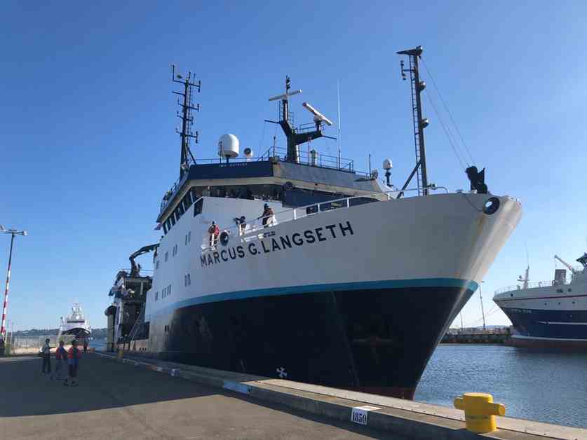
Scientists have recently completed an unprecedented mapping of one of the most dangerous areas on Earth, the Cascadia subduction zone off the Pacific Northwest coast. This 600-mile geologic boundary poses a significant risk of triggering a catastrophic 9.0-magnitude earthquake and generating a tsunami with waves as high as 40 feet. To better understand the geological state of play in this region, scientists embarked on a 41-day expedition along the coast of Oregon, Washington, and British Columbia in the summer of 2021. Using advanced technology, they were able to create a detailed map of the underwater geology, providing valuable insights into potential earthquake and tsunami scenarios.
The entire area from Northern California to Vancouver Island is at risk, with the fault off the coast of Washington identified as particularly hazardous due to its unique geometry. Scientists found that this part of the fault is flat, smooth, and closer to the surface, increasing the likelihood of a major earthquake. The data collected during this expedition will not only help scientists refine their earthquake predictions but also assist policymakers in developing building codes to protect communities in the region.
The Cascadia subduction zone has been relatively quiet for hundreds of years, but historical records and scientific studies indicate that a devastating earthquake occurred in 1700, with a magnitude of 9.0. This fault zone is classified as a “megathrust” fault, where one tectonic plate slides beneath another, accumulating stresses over time. While the region has experienced minimal seismic activity in recent history, the latest research has revealed crucial details about the fault’s structure and behavior.
The study conducted by a team of experts led by marine seismologist Suzanne Carbotte has already produced significant findings. The identification of four distinct segments along the fault raises questions about whether the entire fault could rupture simultaneously or in separate events. Understanding these dynamics is essential for assessing the potential impact of future earthquakes and tsunamis in the region. By analyzing the newly acquired data, researchers like Kelin Wang are gaining valuable insights into the formation of tsunamis and the complex nature of subduction zone earthquakes.
The comprehensive mapping of the Cascadia subduction zone represents a major step forward in earthquake research and preparedness efforts. The detailed data collected during this expedition will enable scientists to refine their models, enhance early warning systems, and better protect vulnerable communities along the Pacific Northwest coast. As the threat of a major earthquake looms over the region, the insights gained from this study will play a crucial role in mitigating the potential impact of future seismic events.