
California’s Cal Fire agency is set to roll out updated fire hazard severity zones, expanding the areas where stricter fire safety building codes must be adhered to. This expansion will include not only the “very high” hazard zones but also the addition of “high” hazard zones, as mandated by the state Legislature in 2021. The new maps are expected to encompass more than double the number of acres in local fire jurisdictions that will now fall under these regulations.
The updated maps will see an additional 247,000 acres categorized into the “very high” zones, bringing the total to approximately 1.16 million acres. Additionally, new “high” hazard zones will be introduced, though the exact acreage for this category has not been specified. This shift marks a significant change from the previous focus solely on the most extreme fire hazard areas, expanding the scope of fire safety measures to a broader range of regions.
Rollout of Updated Maps
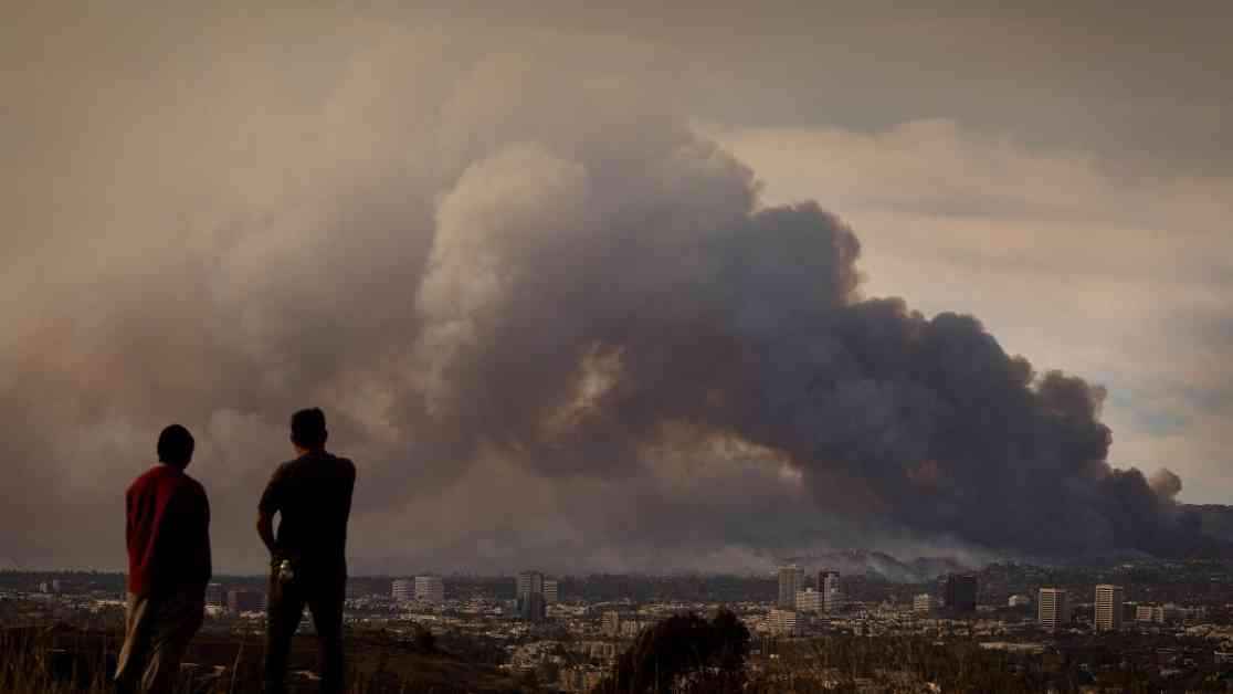
Initially planned for release in January, the updated maps faced delays due to the devastating wildfires in Los Angeles. Cal Fire personnel were actively engaged in firefighting and recovery efforts, leading to a postponement of the mapping rollout. However, following an executive order from Governor Gavin Newsom, the agency is now moving forward with the release of the updated maps.
The release will occur in phases, starting with inland Northern California on Monday, followed by coastal Northern California, the Central Coast, and Central Valley in subsequent weeks. The final phase will cover Southern California, including highly populated areas like Los Angeles, San Bernardino, and San Diego counties. Once the maps are released, cities and counties across the state will have four months to adopt and implement the new regulations.
Implications and Regulations
The severity zones outlined in the updated maps are integral to various state regulations, affecting building codes, grants, and other legislative measures. Property owners in the “very high” and “high” hazard zones will be required to undertake home-hardening measures to increase fire resistance. These measures include using ignition-resistant materials, securing vents, and implementing fire-resistant windows to mitigate the risk of fire spreading to homes.
In addition to individual structures, the new regulations also extend to community-land-use planning in high-risk areas. Local jurisdictions are now mandated to consider factors like evacuation routes, water supply stress during disasters, and the location of essential public facilities in fire-prone regions. The goal is to enhance overall community safety and resilience in the face of wildfires.
Cal Fire has committed to updating these maps every five years, acknowledging the importance of staying current with evolving fire risk assessments. While the new maps address some weaknesses in the previous model, there are ongoing efforts to improve the accuracy and effectiveness of fire hazard zoning through advanced scientific approaches.
As the state continues to grapple with the threat of wildfires, these updated maps represent a proactive step towards bolstering fire safety measures and protecting vulnerable communities. By expanding the scope of hazard zones and implementing stringent regulations, California aims to enhance its resilience in the face of increasingly severe fire seasons.
This is a developing story with implications for public safety and community planning, highlighting the ongoing efforts to mitigate the impact of wildfires in high-risk areas.