
Los Angeles Braces for Severe Atmospheric River Storm
The citizens of Los Angeles are preparing for the arrival of the most powerful phase of Southern California’s strongest atmospheric river storm of the winter, set to hit on Thursday. The storm is expected to bring significant flooding to roads and poses a high risk of landslides, according to the National Weather Service in Oxnard. While the rains on Thursday are anticipated to peak and depart earlier than previously forecasted, the weather service has issued warnings of a “high risk of flooding, debris flow, damaging winds.” They advise individuals to alter their travel plans and avoid roads on Thursday, as conditions could escalate rapidly with minimal warning.
Timing of the Storm
County-specific timing for the storm’s impact varies, with San Luis Obispo County expected to experience the brunt of the storm from 8 a.m. to 4 p.m. Santa Barbara County follows from 10 a.m. to 6 p.m., Ventura County from 12 p.m. to 8 p.m., Los Angeles County from 2 p.m. to 10 p.m., Orange County and Inland Empire from 5 p.m. to 10 p.m., and San Diego County from 8 p.m. to 2 a.m.
Evacuations and Warnings
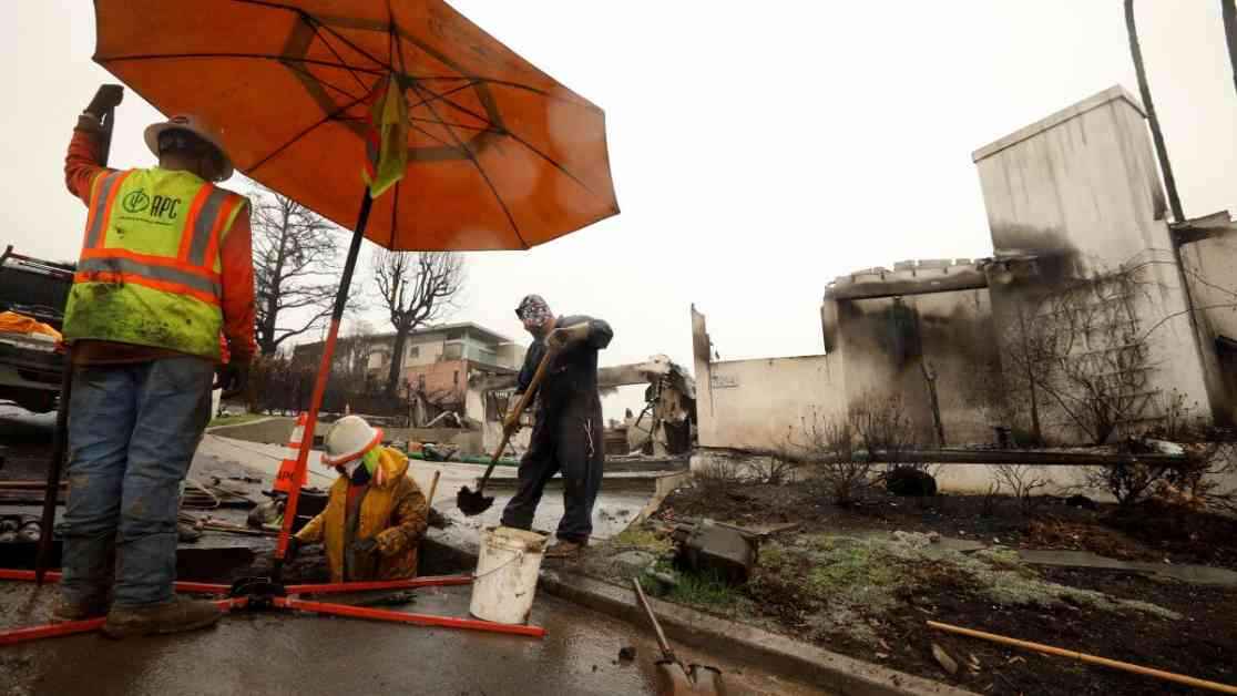
Evacuation warnings have been issued for several areas affected by recent wildfires, including Pacific Palisades, Brentwood, Malibu, Hollywood, Sylmar, Calabasas, Altadena, and Pasadena, among others. The risk of landslides in these regions is higher due to the recent fires, with the National Weather Service office in Oxnard highlighting concerns for areas such as the Palisades, Franklin, Eaton, and Bridge burn scars.
Burn Scars at Risk
Areas affected by recent wildfires are at high risk of experiencing debris flows, with the potential for rapid movement that can destroy homes and endanger lives. The Palisades, Franklin, and Eaton burn scars in Pacific Palisades, Malibu, and Altadena, respectively, are among the most concerning. Meteorologist Alex Tardy from the weather service office in San Diego emphasized the susceptibility of Mount Baldy Village to heavy rain and significant land movement, as it sits below an area prone to these hazards.
Heaviest Rainfall Projections
The rate of rainfall during the storm’s peak is a critical factor in determining the risk of debris flows. Areas like the Lake, Eaton, Bridge, Palisades, Franklin, and Hurst burn scars could experience rainfall rates ranging from 0.54 to 0.76 of an inch per hour. While the overall forecast predicts more modest rates of a quarter to half an inch per hour, occasional bursts of heavy rain could exacerbate the situation, with some areas expected to receive over an inch per hour.
Factors Contributing to Debris Flows
Debris flows, triggered by intense rainfall, are shallow landslides that can pose a significant threat to communities in the affected areas. These flows, characterized by rapid downhill movement carrying mud, rocks, and debris, have the potential to damage or destroy homes and endanger lives. The aftermath of the Station fire in 2009 serves as a stark reminder, with a major debris flow in 2010 inundating homes in La Cañada Flintridge with mud, boulders, and cars.
Other Impacts of the Storm
Aside from the risk of debris flows, the storm also brings the potential for damaging winds, downed trees, power outages, delays at airports, dangerous seas and harbors, and the likelihood of swift-water rescues in rivers. The community is advised to take necessary precautions and stay informed about evacuation orders and weather alerts to ensure their safety during this severe weather event.
As Los Angeles braces for the impact of the atmospheric river storm, residents are urged to prioritize safety and preparedness in the face of potential hazards. Stay updated on weather advisories, evacuation orders, and road conditions to navigate this challenging weather event with caution and vigilance.