
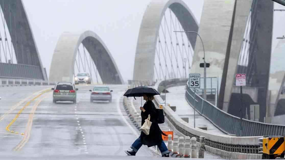
California is currently experiencing record-breaking rainfall, with more expected in the coming days. A recent atmospheric river that set records has now moved out of the state, but there are indications that another significant system could bring even more rain to Southern California around Valentine’s Day. Meteorologists are closely monitoring the situation, with growing concerns about the potential impact of the upcoming storms.
The forecast for the week ahead suggests a 20% chance of high amounts of rain between Feb. 12 and Feb. 15. This prediction has increased from a previously estimated 10% chance, indicating a shift towards more favorable conditions for a significant atmospheric river event. Atmospheric rivers are long plumes of water vapor that bring substantial amounts of rain from the Pacific Ocean to California. These phenomena can be likened to a river in the sky and have the potential to deliver a significant portion of the state’s annual precipitation in just a few events.
While there is uncertainty surrounding the exact details of the upcoming storms, experts are preparing for the possibility of high rainfall totals. This could mean 2 to 4 inches or more along the coast and in the valleys, and 4 to 8 inches or more in the mountains and foothills of several counties in Southern California. The current weather patterns suggest a 50% chance of moderate amounts of rain, with the potential for even higher impacts depending on the intensity of the storm.
The recent atmospheric river that passed through California brought record-breaking rainfall to parts of the state, causing flooding and other disruptions. Although Southern California was spared from the worst of the storm, areas in the north experienced significant rainfall and related issues. As the focus shifts to the upcoming storms, experts are closely monitoring the situation to assess potential risks, including debris flows and mudslides in areas affected by recent wildfires.
As forecasters analyze the data and track the progression of the storms, there is a sense of cautious optimism tempered by the unpredictable nature of weather systems. The possibility of steady rain lasting several hours or even days poses challenges for areas prone to flooding and other weather-related hazards. The key concern is the rate of rainfall, as intense downpours can trigger debris flows and mudslides, particularly in regions with recent burn scars.
Despite the potential risks associated with the upcoming storms, experts emphasize the importance of preparedness and vigilance. While the forecast suggests beneficial rain for the drought-stricken region, there is always the possibility of unexpected developments that could impact the severity of the weather events. Communities are advised to stay informed, follow safety guidelines, and be ready to respond to changing conditions as the storms approach.
In conclusion, the current weather patterns in California are indicative of a shift towards wetter conditions, with the potential for significant rainfall in the coming days. While the exact impact of the upcoming storms remains uncertain, experts are monitoring the situation closely and providing updates as new information becomes available. As residents prepare for the possibility of heavy rain and strong winds, it is essential to remain vigilant and take necessary precautions to ensure the safety of individuals and communities across the state.