
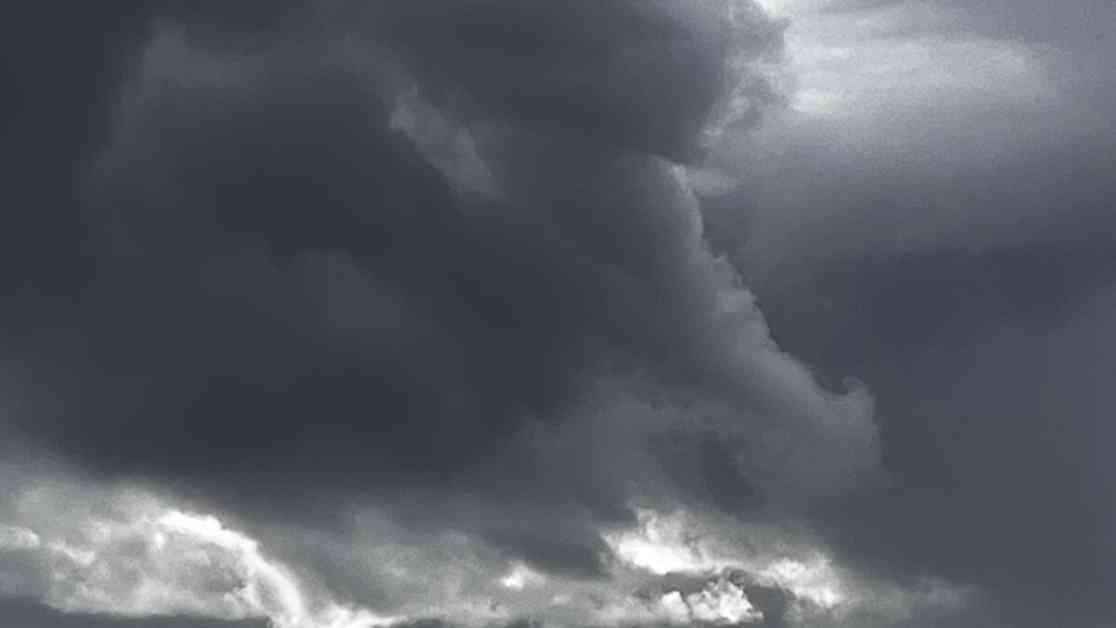
LOS ANGELES – Heavy rainfall has swept across Los Angeles, bringing with it the potential for flooding and mudslides in areas previously affected by wildfires. The National Weather Service has issued flood watches and warnings for various regions in L.A. County, urging residents to remain vigilant and take necessary precautions.
As the rainstorm’s center is expected to move over L.A. County on Monday, the highest risk of intense, localized rainfall looms large. Particularly concerning are the wildfire burn scar areas, where the risk of flash floods and mudslides will persist through Monday afternoon. The National Weather Service has highlighted the Palisades, Eaton, Hughes, Franklin, and Bridge fire burn scars as areas of particular concern.
During a town hall meeting on Sunday, officials reassured residents affected by the Palisades fire that the county Department of Public Works had taken proactive measures to mitigate potential damage. The installation of 15,000 K-rail barriers and 50,000 sandbags in the burn area aims to protect properties and the environment from the destructive force of high-intensity rain.
The impact of heavy rainfall on areas previously scorched by wildfires cannot be understated. Soil made water-repellent by fire becomes vulnerable to flooding and landslides when subjected to high-intensity rain – more than half an inch per hour. Rainfall rates of 0.39 inches per hour were reported near Pepperdine University, with even higher rates anticipated throughout the day.
At 7:40 p.m. on Sunday, the National Weather Service raised flood watches for the Franklin fire burn scar and the western portion of the Palisades scar to a flash flood warning, the most severe level of alert. The potential for mud, rock, and debris flow to impact drainages, roads, and residences is a looming threat. While the immediate risk of life-threatening debris flow remains low, it is not out of the realm of possibility.
Rainfall across the region has been highly variable, with some areas receiving over an inch of rain by Sunday evening, while others received less than a tenth of that amount. Snowfall in the mountains surrounding Greater Los Angeles has reached 1 to 5 inches by Sunday morning, with reports of hail near Ventura adding to the weather’s unpredictability.
As of 7 p.m. Sunday, the National Weather Service has recorded rainfall totals for various regions in Los Angeles. Metropolitan areas like Monte Nido, Bel Air, and Hollywood Reservoir have received significant amounts of rain, while valleys such as Agoura and Canoga Park have also experienced substantial rainfall. The San Gabriel Valley, including locations like L.A. City College and Eagle Rock Reservoir, has not been spared from the deluge.
As the flood watches are set to expire at 4 p.m. on Monday, residents are urged to remain cautious and stay informed about the evolving weather conditions. The potential for flooding and mudslides in areas affected by wildfires underscores the importance of preparedness and vigilance in the face of nature’s unpredictability.