Bone-chilling Arctic air has taken hold of much of the eastern United States, bringing with it the threat of lake-effect snow that could disrupt travel and leave some areas paralyzed in the Great Lakes region. This frigid air mass, which originated in the northern Plains and Midwest, has now moved southward into the South and East Coast and is expected to linger into next week, bringing the coldest temperatures seen since last winter.
According to the National Weather Service’s Weather Prediction Center, a wide swath of the eastern US is expected to see temperatures drop by 15 to 25 degrees, from Minnesota all the way down to Texas. This cold air moving over the unseasonably warm Great Lakes is set to trigger the first major lake-effect snow event of the season.
The National Weather Service in New York has warned that some localized areas could be paralyzed by the lake-effect snow, with impacts extending to major interstates. Winter weather alerts were in effect for nearly 16 million people on Saturday, with snow totals expected to reach between 6 and 12 inches across parts of Michigan, western New York, northwest Pennsylvania, and northeast Ohio. Areas downwind of Lakes Erie and Ontario could see up to 4 to 6 feet of snow.
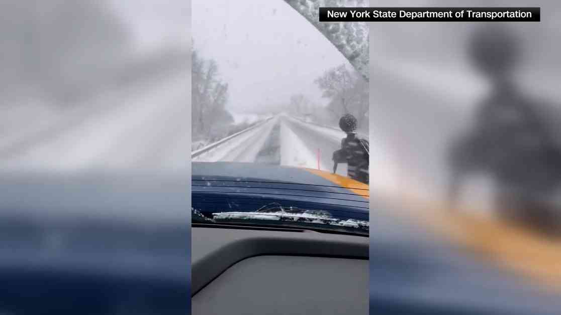
The heavy snowfall has already led to the closure of sections of major highways in New York and Pennsylvania, with reports of motorists being rescued from snowdrifts. The lake-effect snow event, which began on Thursday, continues to intensify, with some areas already seeing over 3 feet of snow accumulation. The most severe conditions are still to come, with additional snowfall and aligned winds expected to create intense snow bands downwind of the Great Lakes.
In addition to the heavy snowfall, residents in the eastern US can expect temperatures more typical of mid-to-late January in cities like Chicago, Indianapolis, Atlanta, Nashville, and Tallahassee. Wind chills in the northern Plains and Upper Midwest could drop well below zero, increasing the risk of hypothermia and frostbite.
The Great Lakes region, particularly Michigan, New York, and Pennsylvania, remains on alert as the lake-effect snow persists, leading to near-whiteout conditions and dangerous traffic situations. Skiers in western New York are anticipating the first major snowfall of the season, with resorts preparing to open as heavy snow is forecasted to continue falling.
In Watertown, New York, near Lake Ontario, residents could be digging out from up to 70 inches of snow by Monday. The city’s mayor has urged residents to stay home and exercise caution, as conditions can change rapidly. Several areas in western and central New York, including Buffalo, are under a state of emergency due to the threat of lake-effect snow.
Pennsylvania Governor Josh Shapiro has issued a disaster declaration for Erie County after significant snowfall closed major highways and stranded motorists. Northeastern Ohio and northwestern Pennsylvania are also bracing for heavy snowfall and difficult travel conditions.
Despite the snowfall, the Buffalo Bills are set to play the San Francisco 49ers in Orchard Park, New York, with game-time temperatures expected to be around 26 degrees. Officials expect the heaviest snow to have subsided by game time, but fans have been asked to help shovel snow at the stadium ahead of the game.
While the winter weather may pose challenges for travelers, the game is expected to proceed as planned. Stay safe and stay warm during this cold snap in the Great Lakes region.


